A WG1 production!
Recent Advances in Tracer-Aided Mixing Modeling of Water in the Critical Zone
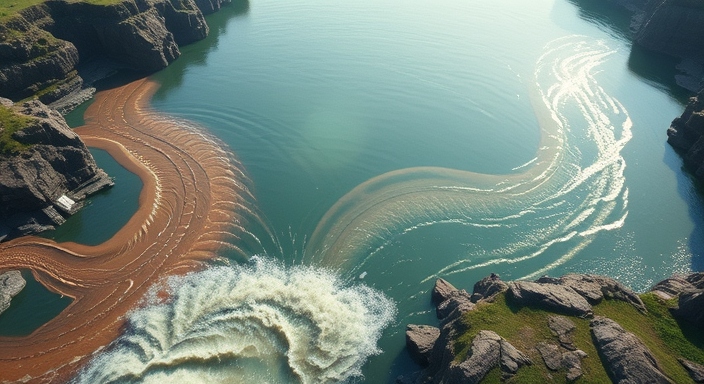

What is the Critical Zone?
The Critical Zone is a dynamic interface where air, water, soil, plants, and rocks interact.

How can we learn about the Critical Zone?
To model water partitioning within the Critical Zone, researchers often use tracer-aided mixing models that allow us to track the movement of water using naturally occurring markers or “tracers”. This approach quantifies the sources and flowpaths of water in the water cycle, from raindrops to aquifers deep below the ground.

Why is our work important?
We summarize the latest advancements in tracer-aided mixing models and how they help us to gain a clearer and more precise understanding of water pathways in the Critical Zone. In addition, we propose future research directions in this evolving field.